
Vantage-Protected Areas
Verifying protected area compliance in global supply chains.
Today regulators, consumers, and investors demand proof of legal sourcing.
Indigenous Peoples Areas.
Indigenous territories are often more effective at preserving forests than formal protections. Recognizing these lands isn’t just a legal matter—it’s a responsibility.
Our analysis includes verified Indigenous boundaries to support rights-based due diligence and ethical sourcing.
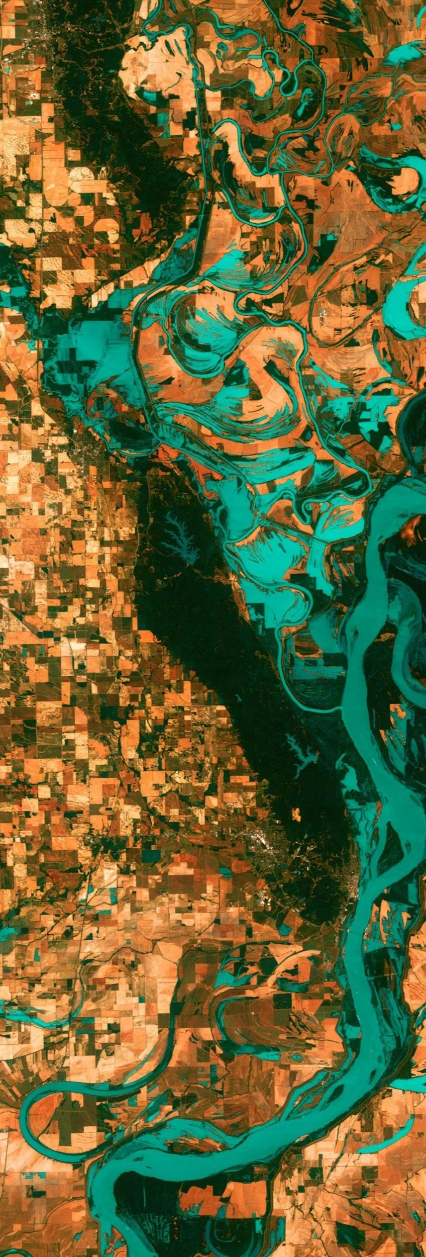
World Protected Areas.
Protected areas are the cornerstone of global conservation; safeguarding biodiversity, cultural heritage, and critical ecosystems.
Our system continuously monitors these zones to ensure your operations never infringe on legally protected land, national parks, or ecological reserves.
Our Comprehensive Methodology
We do more, so you don’t have to.
Global Coverage & Authoritative Sources:
Our database contains over +350,000 unique polygons spanning all Global Production Zone sourcing countries.
Rigorous Collection & Verification:
We painstakingly sourced our data from official government bodies. Including; national park registries, land cadasters, and landmark indigenous land title agreements.
Intelligent Enrichment and Deduplication:
We enhance every data point with legal and ecological metadata, resolve overlaps through smart deduplication, and publish versioned releases to ensure consistency so you don’t have to.
Request access to the API today.
Take it for a test drive yourself.
Apply for Free NGO Access
NGOs, researchers, and non-commercial initiatives can apply for free access to our Protected Areas API.
We believe access to high-quality protected area intelligence should be available to those advancing environmental protection, indigenous rights, and forest conservation globally.