
Advanced Land Cover Change Detection
OpenAtlas is the satellite monitoring service of choice for traceability platforms.
We help companies create a Deforestation-Free Future.
Here’s how
1
Understand Supply Chain Risk.
Through our supply chain assessment we help businesses understand the deforestation exposure of their products by analysing land cover change at the plot of origin.
2
Modelling land cover change over time.
Our deforestation warning system provides a time series analysis of the high risk plots, enabling us to see encroaching deforestation surrounding areas and reveal risks before they occur.
3
Risk mitigation.
With this understanding of your production plots and their surrounding areas, a risk mitigation strategy can be developed preventing future risks of deforestation or forest degradation.

Supply Chain Assessment
Know your supply chain inside out
Understanding your current supply chain is essential to prepare for the EUDR. Our service will tell you if any supplier plots are at risk of EUDR non-compliance today.
Relevant products produced now with an import date after December 30, 2024 must be accompanied by verifiable evidence that products are deforestation free and produced legally.

Monitoring & Analysis
Better decisions, better planet
With our satellite analysis, companies can track how land has changed over time. Armed with this information we can make better decisions about where to allocate resources to protect our rapidly diminishing forests and protect our planet’s biodiversity.
We make things that make sense.
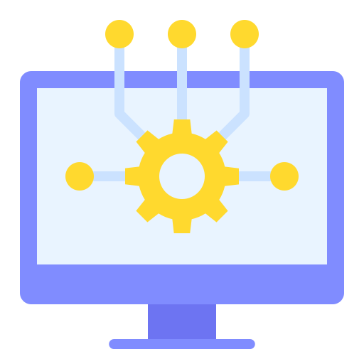
API Ready Integration
Incorporate our monitoring capability into your traceability platform quickly to provide your client’s with a full service product including all the benefits of remote sensing technology.

Agile Regulatory Updates
Our smart proprietary model architecture allows us to quickly incorporate regulatory feedback as soon as it becomes available, keeping you ahead of compliance changes.

Near Real Time Land Cover Change
Our self-supervised machine learning model provides near real time updates on land cover classifications and becomes more accurate with each passing day.
Join a pilot today.
The best way to know if something works is to try it out.